Transform Your Future with Satellite Solutions

Empowering industries through geospatial intelligence and innovation.

Ports & Marine Operations.

Enhancing efficiency for ports and shipping.

Agricultural Optimization. Maximizing yield with precision farming techniques.

Shaping sustainable cities for a smarter future.

Agriculture.
Urban Planning & Smart city Solutions.

Transforming Tomorrow with Satellite Technology

At Planetrackr Spacevision, we harness satellite technology to enhance operations, optimize practices, and drive sustainability across various sectors, reshaping how we interact with our world.

A satellite is positioned over a coastal landscape, highlighting a stark contrast between the deep blue ocean and the arid, brown rocky terrain. The satellite features a large solar panel array and is centered in the image, capturing both natural and technological elements.

Innovative Satellite Solutions

Transforming industries with geospatial intelligence for enhanced efficiency, sustainability, and global connectivity.

intermodal containers on dock
A satellite view of a sprawling landscape with diverse terrain including green vegetation, brown patches, and winding rivers. The colors indicate a mix of forests, open land, and watercourses, demonstrating the natural diversity in elevation and land cover.
Marine Operations

Optimizing port and marine operations through advanced satellite technology for better efficiency and safety.

Agricultural Insights

Leveraging satellite data to enhance agricultural practices, ensuring precision and sustainability in farming.

A space satellite hovering above the coastline

Innovative Projects

Exploring applications of satellite technology for global transformation.
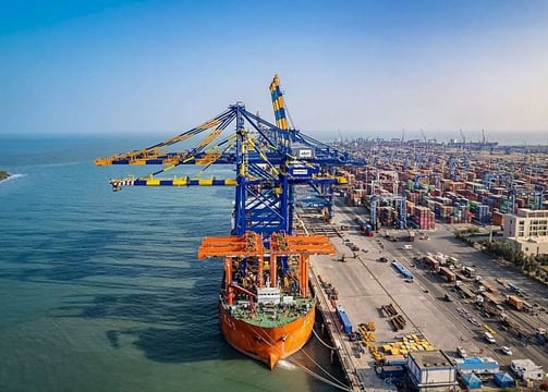
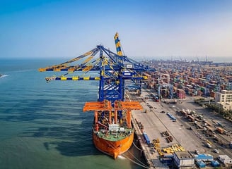
Marine Operations

Enhancing port efficiency through advanced geospatial intelligence solutions.

Agricultural Solutions

Optimizing farming practices using satellite-driven data insights.
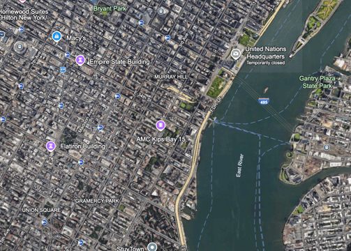
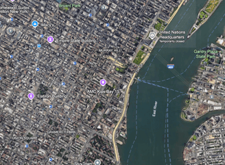
A satellite image showcasing diverse landforms with varying colors. Red and brown regions appear to highlight elevation or different terrain, while greens and blues may represent vegetation or bodies of water. The image has a mix of organic patterns indicating natural landscapes.
Urban Planning

Transforming city landscapes with precise satellite mapping technologies.

Environmental Monitoring

Tracking changes in ecosystems through satellite-based observations.

Planetrackr's satellite solutions transformed our operations, enhancing efficiency and sustainability in our projects significantly.

RK Associates

A large satellite dish is positioned against a clear blue sky. The structure is metallic and intricate, towering over green foliage and well-maintained gardens. Palm trees and various bushes surround the base of the satellite.
a group of sailboats docked at a pier

★★★★★